This information is provided by people currently hiking the AT sections as updates to the book “Exploring the Appalachian Trail: Hikes in the Mid-Atlantic States” by Scherer and Hopey.
Hike Segment #6 (Caledonia State Park to Ardentsville-Shippensburg Rd) – 11.5 miles
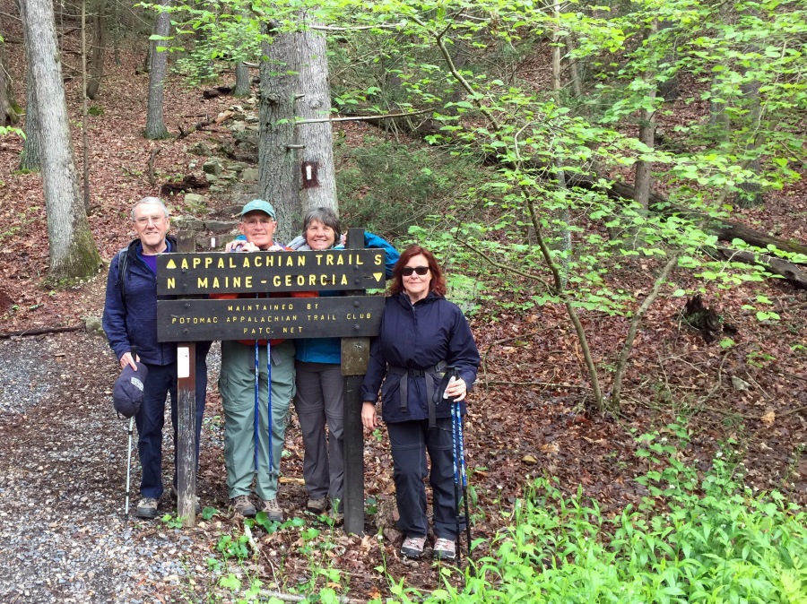
From Jane–
We parked in the 3rd parking lot at Caledonia SP, near the restrooms. The white-blazed AT trail is visible from the restrooms. To go North, don’t turn left into the woods there near the restrooms, but continue down the path. There’s an AT trail sign (see photo below) before you head into the woods (and immediately uphill)!
No real changes from what “the book” says. We had lunch at a cabin that was about 7 miles in. Total hike time was 5.5 hours and not too rough. It was easier than I expected for 11 miles. There’s lots of not-too-rocky sections of trail in this segment with softer footing. The worst of the uphill is at the very beginning, which is good.
Note: we saw tons of rhododendrons and laurel not yet in bloom. This would be spectacular in another month (June).
Hike Segment 14 (PA Route 325 to Swatara Gap) –
From Darrell —
Marchin’ On (Bob Gambert) and I hiked Segment 14 yesterday, completing 28 km (17.2 miles) of AT in 7 hrs. 40 minutes. “The Book” (Scherer and Hopey) said to expect a duration of 9 hours. The trail surface was average to good. Nevertheless, due to the extra length and rocky downhills, we both experienced a lot of toe-jamming, especially near the end.
“The Book” mentioned a re-routing of the trail that was pending as of “The Book’s” publication in 1998. The “new” trail is 1.3 miles longer, making this the longest of all the Pennsylvania hike segments. To do this one, you need to start early in the morning as we did (rendezvous for car shuttle about 9 a.m.). When we finished the hike and drove to the second car, it was beginning to get dark. Note that the car shuttle for this segment takes 40 minutes, before and after the hike!
Hike Segment 15 (Swatara Gap to PA Route 645) –
From Darrell —
PARKING: “The Book” and internet resources were wrong in describing parking options at the Swatara Gap trailhead. Several “No Parking” signs on Route 72 persuaded us not to park on the shoulders (as we had been advised). Instead we parked over a mile away at an out-of-business restaurant. We later found a perfect parking area on the east side of Swatara Creek that no one had told us about.
UPDATED PARKING DIRECTIONS:
To reach the parking lot for this (Swatara Gap) trailhead, use the following coordinates in Google Maps: 40.480835, -76.531552, or 148 Old State Road, Jonestown, PA 17038. DO NOT park on Route 72!!
Take exit 90 of I-81 toward Fisher Ave
Turn left onto Fisher Ave
Go 0.1 mi
Turn left onto PA-72 N
Go 0.9 mi
Turn right onto Monroe Valley Rd
1.0 mi
Turn left onto Old State Rd
Go 1.7 mi
Parking lot at end of road (148 Old State Rd
Jonestown, PA 17038)
